

Assessment of Increased Recharge due to Urbanization and Stormwater Detention
Location
Chandler, Arizona
Client
City of Chandler
Project Description
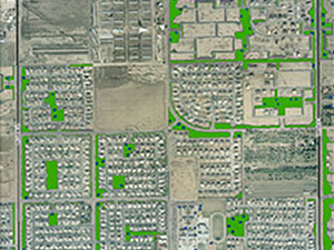
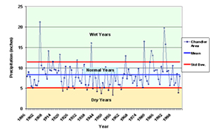
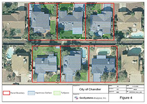
GSA conducted an evaluation to quantify groundwater recharge resulting from engineered stormwater capture and retention in the City of Chandler. Historic precipitation records were analyzed to determine the precipitation characteristics of dry, normal, and wet years. These data were combined with a detailed GIS land use and surface cover analysis to generate estimates of stormwater runoff within the city limits. In addition, approximately 4,000 drywells were identified and included in the analysis. Groundwater recharge through drywells and retention basins was then estimated using analytical methods. Net percolation resulting from turfgrass and agriculture was also estimated
Project Highlights
- GIS analysis of land surface characteristics
- Mapping of retention basins and approximately 4,000 drywells
- Precipitation and stormwater runoff analysis
- Enhanced groundwater recharge estimation
